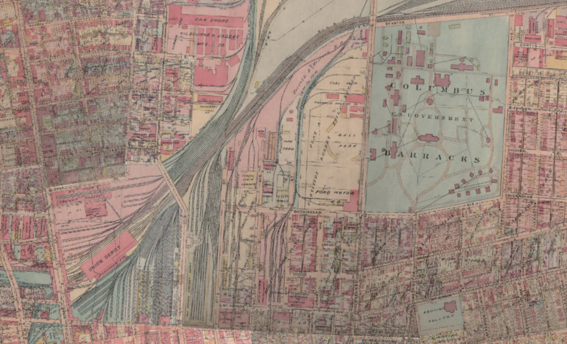
Engaging Columbus is a collaboration between Ohio Wesleyan University, the Ohio Five Libraries, the City of Columbus Department of Technology / Geographic Information Systems and other partners in central Ohio. Information on this site will be used for urban courses at Ohio Wesleyan University and Denison University in the Spring of 2015, but is fully available to all users.
Link to the project’s site here.

